The British upper Ordovician has a spectacular variety of invertebrate fossils. The marine communities in which they lived developed on a number of microcontintents and terranes, associated with tectonically active areas of the Earth’s crust.

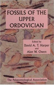
The British upper Ordovician has a spectacular variety of invertebrate fossils. The marine communities in which they lived developed on a number of microcontintents and terranes, associated with tectonically active areas of the Earth’s crust.
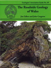
The Geologists’ Association has produced yet another great guide, this time on the geology of Wales. However, this is a slightly different beast from most of their other publications. As is always the case with this excellent series of guides, the book describes the geology of different sites capable of being visited. However, this time, the conceit is that visiting the locations is assumed to be by car.
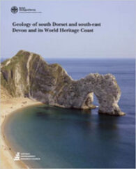
I don’t normally review BGS memoirs – they are excellent publications, but largely written for the professional or the seriously committed amateur geologist. (I have to admit to owning several, which cover my favourite fossil collecting areas of the UK.) However, this one is a ‘Special Memoir’ that I am quite willing to make an exception for.
Back in 1994, Scottish Natural Heritage, together with the BGS, published a guidebook entitled Cairngorms: A landscape fashioned by geology. With the publication of Argyll and the Islands: A landscape fashioned by geology, it has now extended this excellent series to 20 such guides.
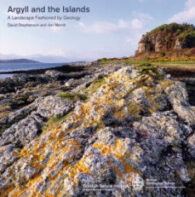
This book has the shape, form and feel of a holiday souvenir book – the sort you buy in tourist information shops to commemorate your visit, with pictures of the sites you didn’t have time to see. And, there is plenty of information for the curious visitor wanting to learn more about the earth science of the area. However, that isn’t the reason why I find it really interesting.
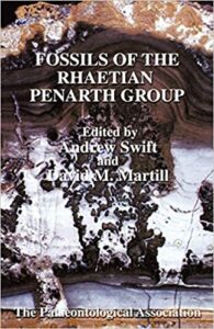
Fossils of the Rhaetian Penarth Group was the ninth published by PalAss and covers the eponymous Rhaetian Penarth Group, which includes the former Westbury Beds, Cotham Beds and White Lias.
The Caithness area of Scotland is important for its geology, but is also well known for its palaeontology. The Caithness Flagstones are famous for fossil fish and the Helmsdale Fault for the Helmsdale Boulder Beds deposit, beside an active submarine fault scarp. The area even once had its own ‘gold rush’ and you can still try your luck at panning there today at Kildonan.
I love both the Yorkshire coast and its Jurassic fossil flora. I have used this guide many times, while ambling around looking for fossil plants.
Once upon a time, I would have said that the only reason to buy this sort of guide is to look at the (black and white) photos of dinosaurs and their bones, and learn about the terrestrial life of what is now the Isle of Wight. However, this is obviously wrong. Of course it is possible for amateurs, as well as professionals, to find dinosaur bones on the beaches of the island.
The Dalradian is a geological term describing a series of metamorphic rocks, typically in the high ground lying southeast of the Great Glen of Scotland. It was named after the old Celtic region of Dál Riata (Dalriada) by the geologist, Sir A Geikie, in 1891, and the term now covers a range of metamorphic rocks.
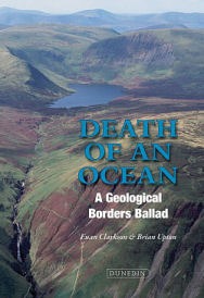
The Scottish Borders region is famed for their frontier history, and attendant myths and ballads. This book is concerned with their more ancient geological history, which is revealed by its rocks. These indicate that the area was once on the edge of a huge ocean – the Iapetus – which met its end between the inexorable crush of tectonic plates.
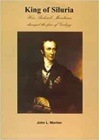
Roderick Impey Murchison must have been a remarkable man. The son of a Scottish landowner, he was one of the first people to rigorously use the principles of stratigraphy discovered by William Smith, which put him in a position to erect the Silurian system and to name about 123myrs of geological time.
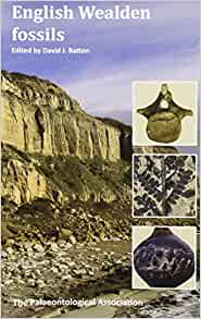
When the long awaited PalAss guide to Wealden fossil flora and fauna finally arrived, it was apparent that it was a magnificent tome. It is, by far, the most ambitious and complete of their guides, covering various vertebrate groups, together with invertebrates, plants and stratigraphical descriptions of what can be found on the coast and in the quarries of southern England and the Isle of Wight.
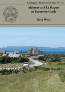
Recently, the Geologists’ Association kindly sent me three of their new guides to review, and I chose to review Alderney and La Hague: an Excursion Guide first, for some very personal reasons. I remember fondly my visits as a child to Alderney, and my extensive civil engineering works on Corblets beach, building dams of sand to capture the water flowing across the sand into the Race of Alderney.
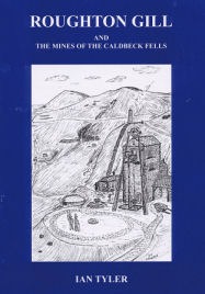
Over a period of 20 years, Ian Tyler has written a series of books on the metalliferous mining industry of the English Lake District and this has clearly been a significant labour of love for him. Unfortunately, Roughton Gill and the Mines of the Caldbeck Fells is his last – the result of the sad loss of his wife and collaborator in this project. However, he has now created an extraordinary record of the geological economic activity in this part of the world.
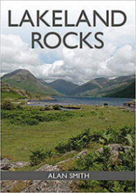
There are many good guides the geology of the Lake District and this is no exception. It is an illustrated guide to the region’s rocks and an introduction to the common rock types to be found, largely through the use of colour photographs. It also explains how they fit in with the Lake District’s geological history.
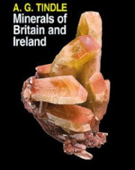
This is a comprehensive account of the minerals found in the British Isles (including Ireland) and the surrounding islands. At over 600 pages and illustrated throughout by over 550 images (mostly in colour), the book provides exhaustive coverage of the remarkably wide range of minerals found in this part of the world.
The first ever fossils I collected were from the spoils tips of the two coal mines in Aberdare, South Wales. Alas, these and most other such spoil tips have been landscaped and covered over. Clearly this was both inevitable and desirable after the closure the UK coal industry, but it is a shame for those of us who love Carboniferous Coal Measures plant fossils.
There are several passions in my life – geology and geomorphology being a couple and hillwalking being another. And it doesn’t take much to see that that these go together rather well. Over the last few years, a number of great leaflets, often laminated, have been produced setting out UK geological walks and these are some more good ones.
Anglesey contains a fascinating variety of rock types and geological structures, best exposed in a magnificent coastline. The bedrockgeology of Anglesey comprises a complex collage of igneous, sedimentary and metamorphic rocks that were formed between 300 and 650 million years ago.
The author, John L Morton, certainly came to popular geological publishing by an interesting and circuitous route. Trained as a pilot, became the district commissioner for scouts in Horsham and, on retirement, studied a BSc in, among other things, geology. In 2001, on the strength of this book on William Smith, he was elected a Fellow of the Geological Society.
There is very little on the fossils of the UK Permian, so this guide was a welcome addition, when it was published in 1988. This was the third of 1988, Palass’s guides to (usually) UK fossils, which the professional and amateur can use to identify and learn about the fossils they have found or want to find.
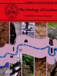
I like the GA guides. They are excellent resources for amateurs and professional geologists alike. I frequently browse mine, planning geological trips I will probably never take, because I live in geological unexciting London. Therefore, imagine how pleased I was to receive a GA guide to the Great Metropolis to review.
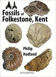
There are several good books on the fossils of the Gault Clay and, by extension, Folkestone. However, this little guide has an advantage over the others that I have looked at.
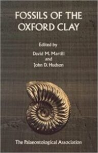
Fossils of the Oxford Clay was the fourth published guide by PalAss and covers the eponymous Jurassic Oxford Clay, which has been the major source of brick clay in the UK, notwithstanding the closures of clay pits in the Peterborough area over the years since this was published.